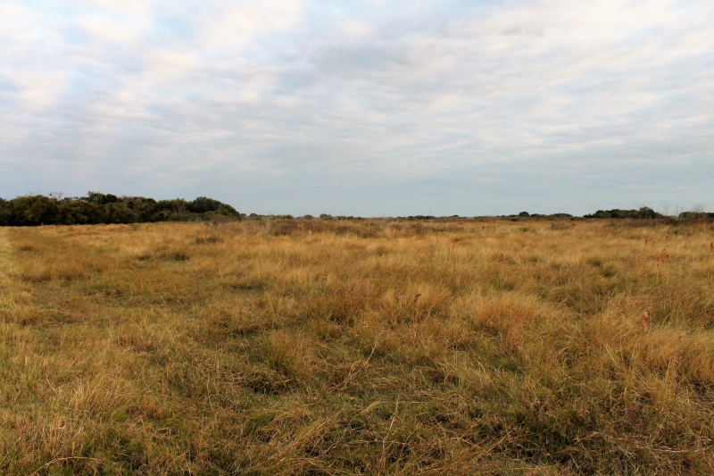
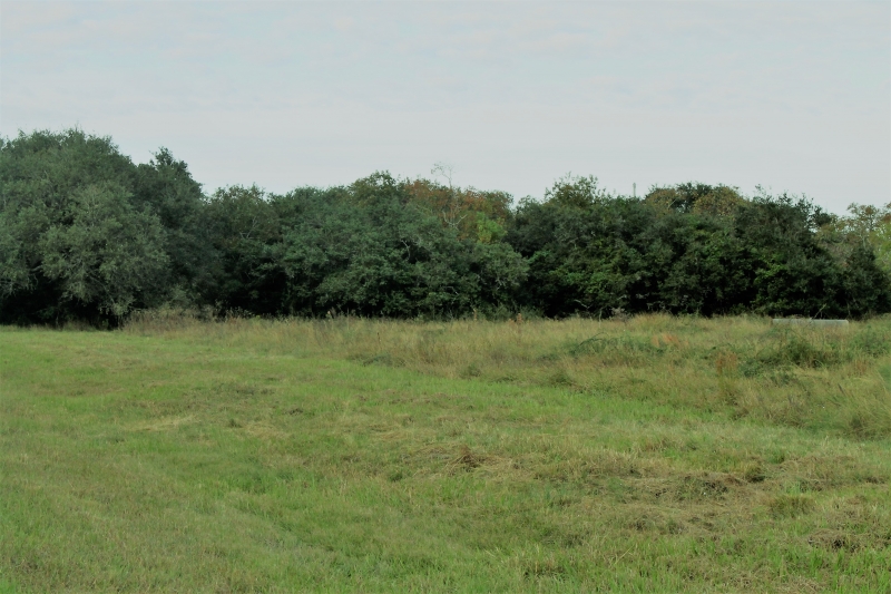
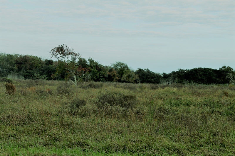
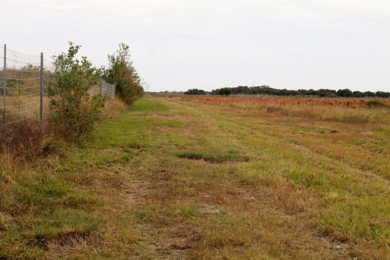
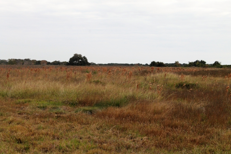
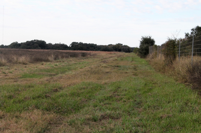
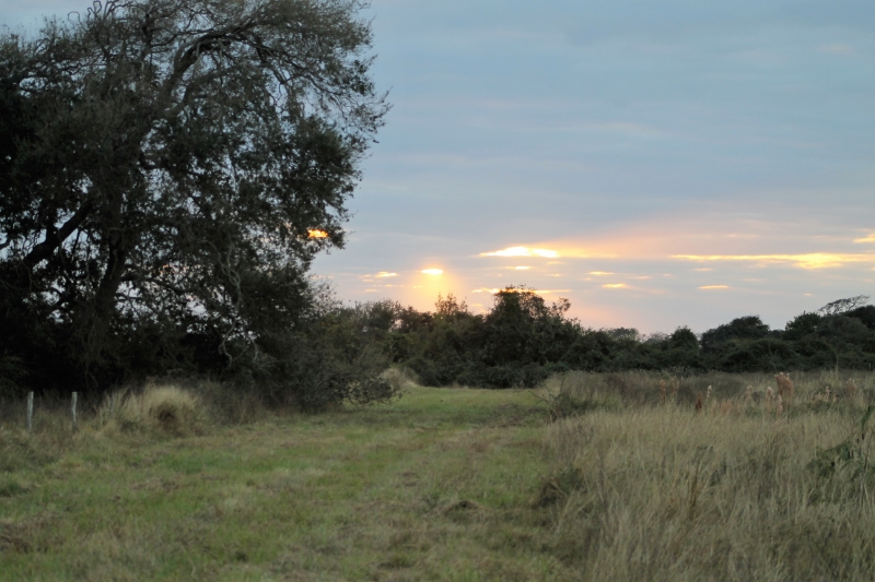
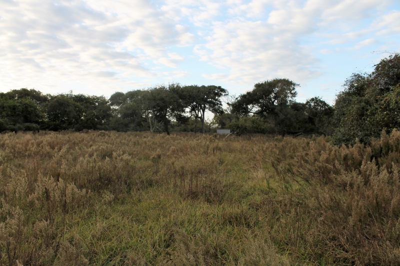
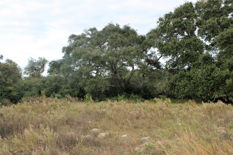
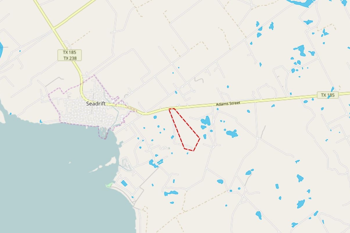
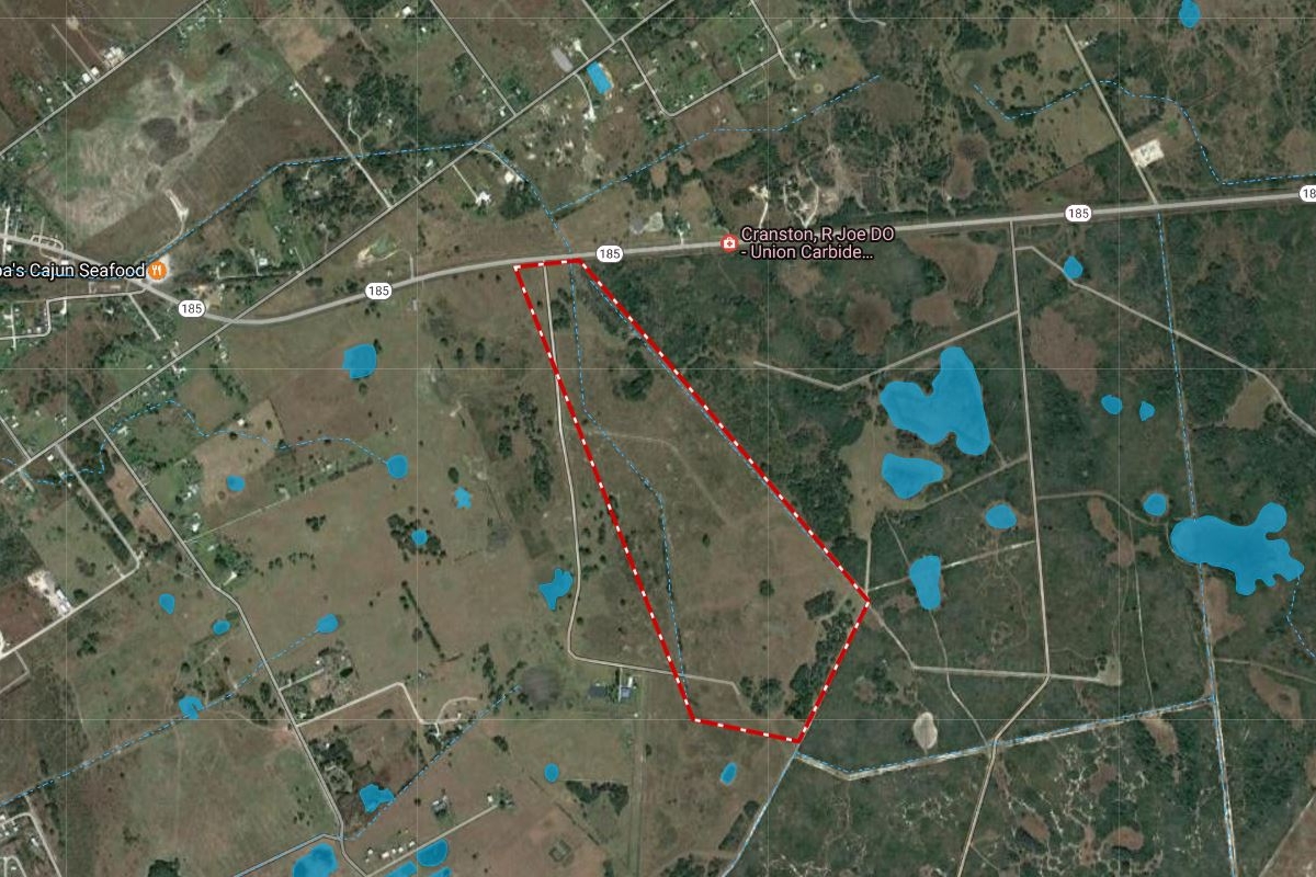
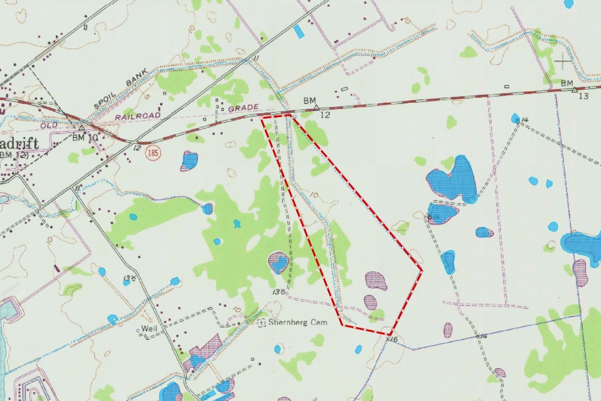
148.13 acres, more or less, east of Seadrift, fronting on the South side of SH 185. The mainly open pasture land is dotted with areas of large live oaks and native brush. A rock road enters the property off of SH 185 and goes in a southerly direction, and then it exits the property. However, there is an easement agreement in place to allow this property to use the existing rock road when needed and it also allows the adjoining property owner to use the entrance and rock road until it comes to the adjoining property.
Wildlife in the area include whitetail deer, dove, quail, ducks, geese, hogs and native Texas varmints.
Port Lavaca is the county seat of Calhoun County and the property is in the Calhoun County ISD, with elementary and junior high in Seadrift, and high school in Port Lavaca.
Seadrift offers a variety of restaurants, motels, RV Parks, churches, public boat launches, grocery stores, fuel, livestock feed and other necessities.
Property Details
Acres:148.13
Additional Information
Legal:148.13 Acres. more or less, in the Maximo Campo Survey, Abstract No. 4, being more fully described in Volume 153, Page 767, and under file number 2015-PR-54 of the Public Records of Calhoun County, Texas.
Electric:Victoria Electrical Co-Op
Utilities:Electricity on Highway
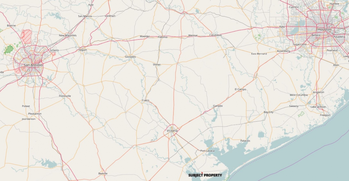
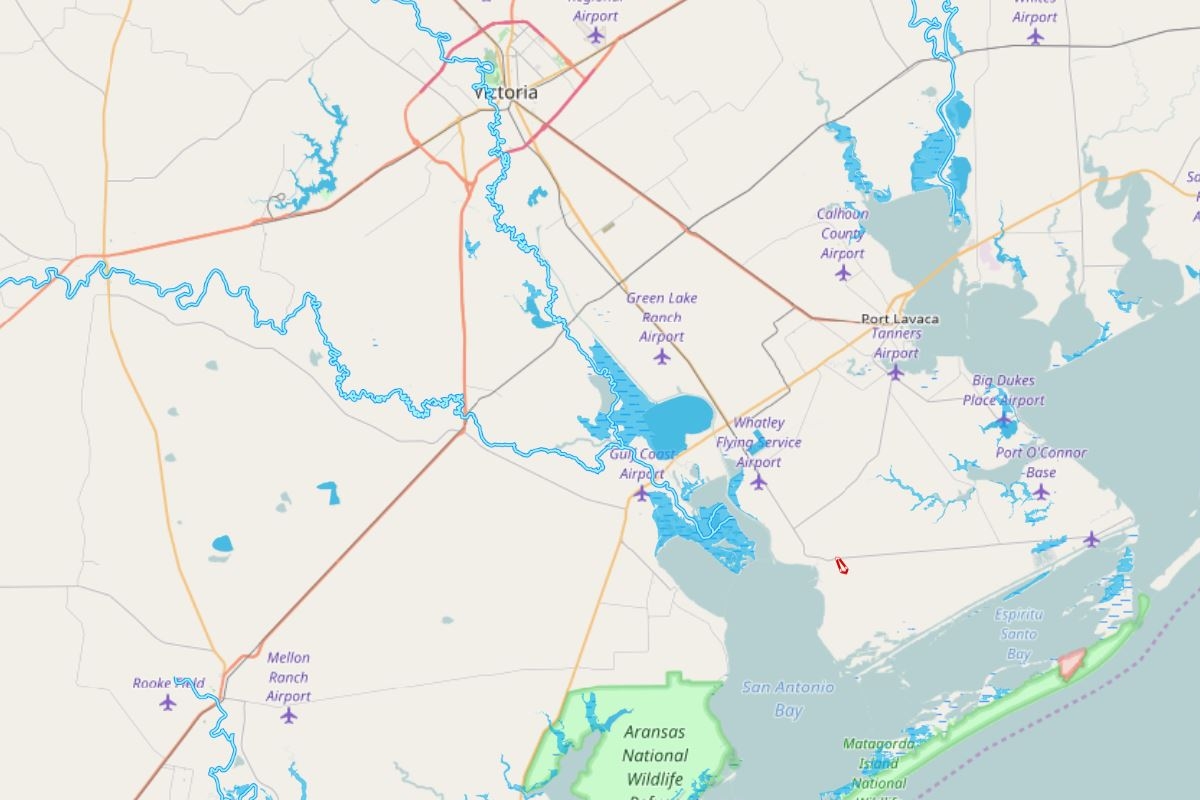
Location:1.6 miles East of Seadrift
Directions:In Victoria, at the intersection of US Hwy 59 (I-69) and SH 185, follow SH 185 south for 30 miles to Seadrift, go through Seadrift on SH 185 for 1.5 miles to property on the Right. The property is located only 1.6 miles from San Antonio Bay, one of the finest salt water fishing areas in Texas. It is also 15 miles West of Port O'Conner, a favorite spot on the Texas Coast and 9.5 miles to the future 17,000+ acre Powderhorn Ranch State Park, being planned by Texas Parks and Wildlife. Additionally the property is 19 miles to Port Lavaca and 31.5 miles to Victoria.
Taxes:$125
Tax Year:2018
School District:Calhoun County ISD
Fencing:The property is fenced on three sides. Fencing currently in place consists of a high net wire fence as the eastern boundary and barbed wire as fences on the north and southern boundary. A fence would be required on the western boundary.
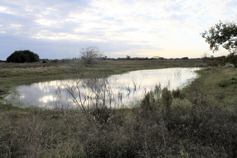
Improvements:Old shed and stock tank
Topography:Basically level land, with the elevations ranging from 10' to 15' above sea level.
Contact Information:Jeff Markham at (936) 295-5989 or email jeff@markhamrealty.com